
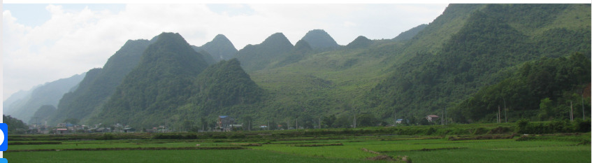
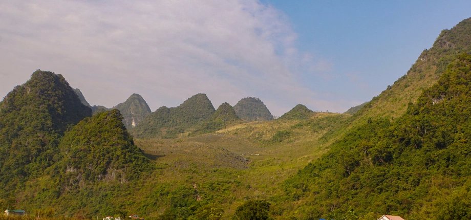
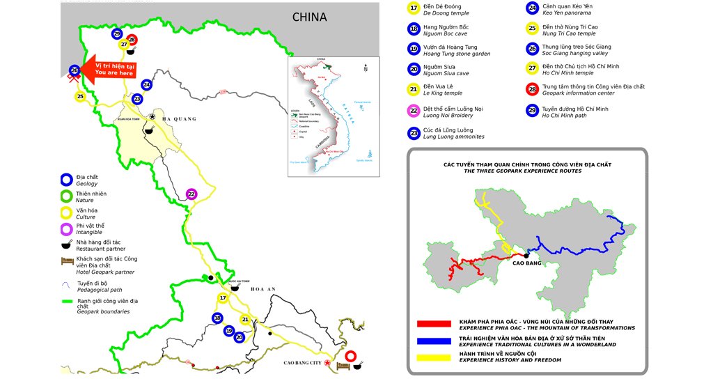
The Soc Giang "hanging valley" is located near the Soc Giang international border gate in Truong Ha commune.
In its lower part is a fairly wide modern valley currently used for rice cultivation, with a surface slightly sloping towards the Southeast, formed along the deep Cao Bang - Tien Yen fault running Northwest-Southeast. This fault shows many signs of activity during the modern period, with traces of slip between rock masses, traces of uplift...
One of the pieces of evidence of uplift is the "hanging valley" - that is, the relatively flat surface of the ancient valley, uplifted and suspended on the slope of the terrain. Although gradually erased over time, it still retains its morphology as well as sediments originating from river and stream activity. Several limestone cones appear at the edge of the "hanging valley" - these are ancient fault slip surfaces - technically called "tectonic facets" - traces of tectonic activity dating back only about 10,000 years.
In addition to the temple dedicated to Nùng Trí Cao – a talented general appointed Thái Bảo by the Lý dynasty in 1043 – the ancient sấu tree, a Vietnamese Heritage Tree approximately 300 years old, also contributes to the richness of the heritage in this area. These trees are enduring historical witnesses, having seen many ups and downs of the Cao Bằng region in general and Trường Hà commune in particular.