
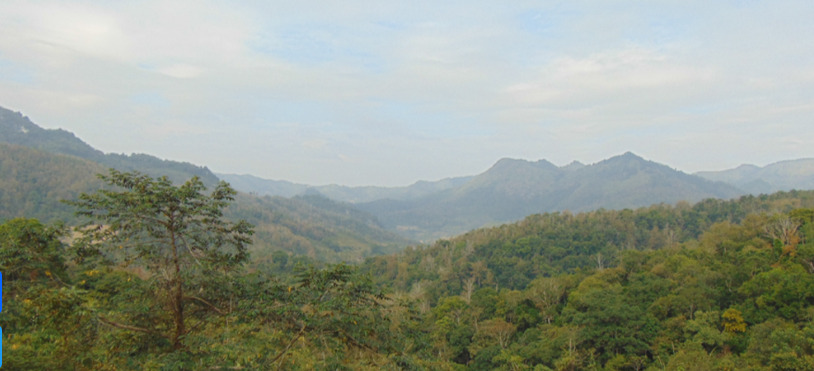
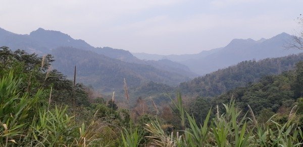

The observation point is located along Provincial Road 202, in Tam Kim commune. The majestic landscape showcases the diverse topography of different rock types, as well as the imprint of endogenous (occurring within the Earth, such as faulting or volcanic eruptions) and exogenous (occurring on the Earth's surface, such as erosion or weathering).
Here, one can observe hilly terrain with flat peaks and gentle slopes on shale (known as the Song Hien Formation, formed approximately 250 million years ago during the Triassic period). Further away is rugged terrain on thinly layered limestone, fractured and dissected to create steep, elongated cliffs (known as the Na Quan Formation, formed approximately 400 million years ago during the Devonian period). The rugged, jagged terrain of the limestone combined with the gentle slope of the shale below creates a giant "rooster's comb," hence the mountain's name.
According to the stratigraphic order, limestone should have been located beneath shale. However, due to tectonic activity, it has been uplifted. Extensive erosion and weathering must have been necessary to erode the upper part of the terrain, exposing the limestone.
The entire area is currently undergoing further transformation by modern tectonic activity, evident in the steep slopes and deeply eroded valleys.