
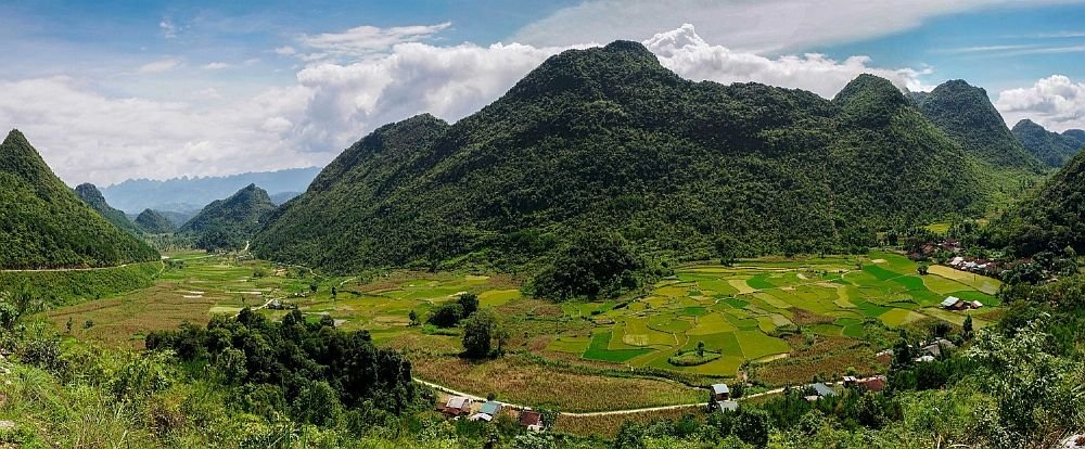
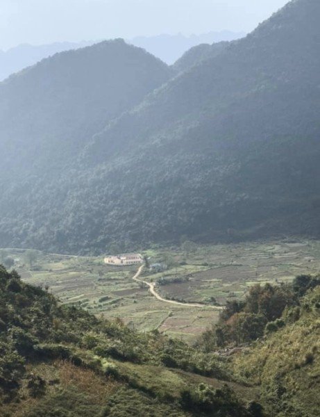
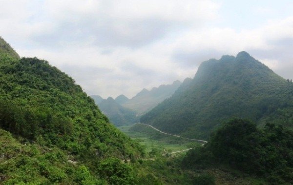
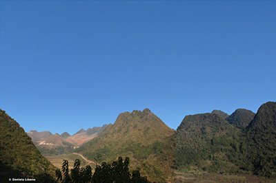
Located in Kéo Yên commune (now Lũng Nặm commune), 15 km northeast of Hà Quảng commune center, the Kéo Yên valley developed along a fault running northwest-southeast. The valley is quite narrow in the northwest, gradually widening towards the southeast, and its surface slopes gradually in this direction – hence its name, the "pocket-shaped valley".
A stream flows through the valley; although only active during the rainy season, it is quite strong, carrying away scattered boulders along its banks and in the streambed. From the valley upwards, the slopes are quite steep, but the peaks are relatively flat. The collection of flat peaks creates what is called a "leveled surface," reflecting a relatively stable tectonic period.
The entire valley, slopes, and peaks developed on limestone formed under shallow, warm marine conditions approximately 300 million years ago (Carboniferous-Permian period). Meanwhile, the current topography reflects much younger geological processes, such as erosion, weathering, etc., dating back only about 5 million years, creating a typical cluster-valley karst landscape characteristic of the tropical karst evolutionary cycle.
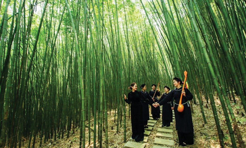
Along with geological heritage values, visitors can also experience many other values, such as the "stone culture" of the local community. The people here live alongside the rocks, facing the harshness of nature together, and rising above numerous difficulties. This land also bears many imprints of the Vietnamese revolution from 1941-1950 during the national liberation struggle.